


King’s Cross is a good example of how masterplanning can work. The developers and their consultants produced a clear layout for the site, retaining areas of key heritage and providing locations and size of buildings with a mix of uses around the site. The plan was flexible enough to change as the economic situation changed; based on a series of sound rules, it retained a level of coherence in scale and detail. The architects of individual buildings were given freedom in developing their own palette of materials in order to create variety and interest.
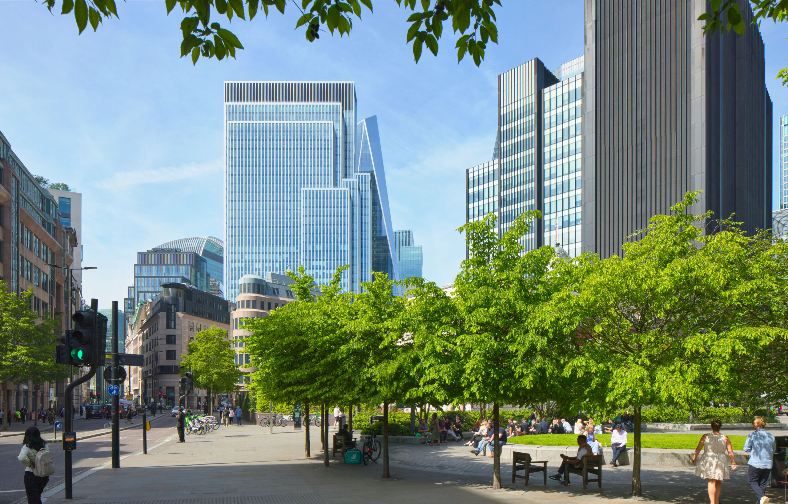
By contrast, South Quay, not far from Canary Wharf on the DLR, is in multiple ownership. Each landowner jockeys for taller and taller buildings, with guidance arriving late in the day from the authorities when it seemed that the density of the area could exceed even that of Central Hong Kong. Although a masterplan has now been developed, it gives no hint as to the overall form, the townscape, of this key part of the capital.
Next door at Canary Wharf, today’s development is still recognisable in drawings made as far back as 1984. The architecture has changed over time, but the shape of the development is pretty much as planned.
In addition to Opportunity Areas, the mayor will look to develop more public land, particularly some of the 5,700 acres owned by Transport for London. Since many of the sites will be around and above stations, one can expect to see denser developments taking place in town centres across the capital. One can expect plenty of debate about whether this means more clusters of towers or lower-rise but denser developments.
How do other cities do it? Vancouver’s towers are more consistent in height and less clustered than London’s, although the location of tall buildings is similarly determined by views, in this instance of the natural landscape and geography that surround the coastal city. The strategy of creating “intense, dense neighbourhoods with short commutes” was developed by city planner Larry Beasley and dubbed Vancouverism – a key element of which is the podium block, providing an animated street scene with mixed use, green space and family homes at the base and smaller apartments in the towers.
In 1977 Valéry Giscard d’Estaing, then president of France, upset by the impact of the 210m-high Montparnasse Tower, introduced a law that banned any buildings over 10 storeys high in the centre of Paris, which has over the years become increasingly museum-like, with low economic growth. In response, mayor of Paris Anne Hidalgo has adopted a policy of permitting taller buildings in select locations within the central area, the first being the 180m Tour Triangle by Herzog & de Meuron. The Central Sydney Planning Strategy, meanwhile, has come up with an envelope of maximum heights created to protect the views and light of parks and places.
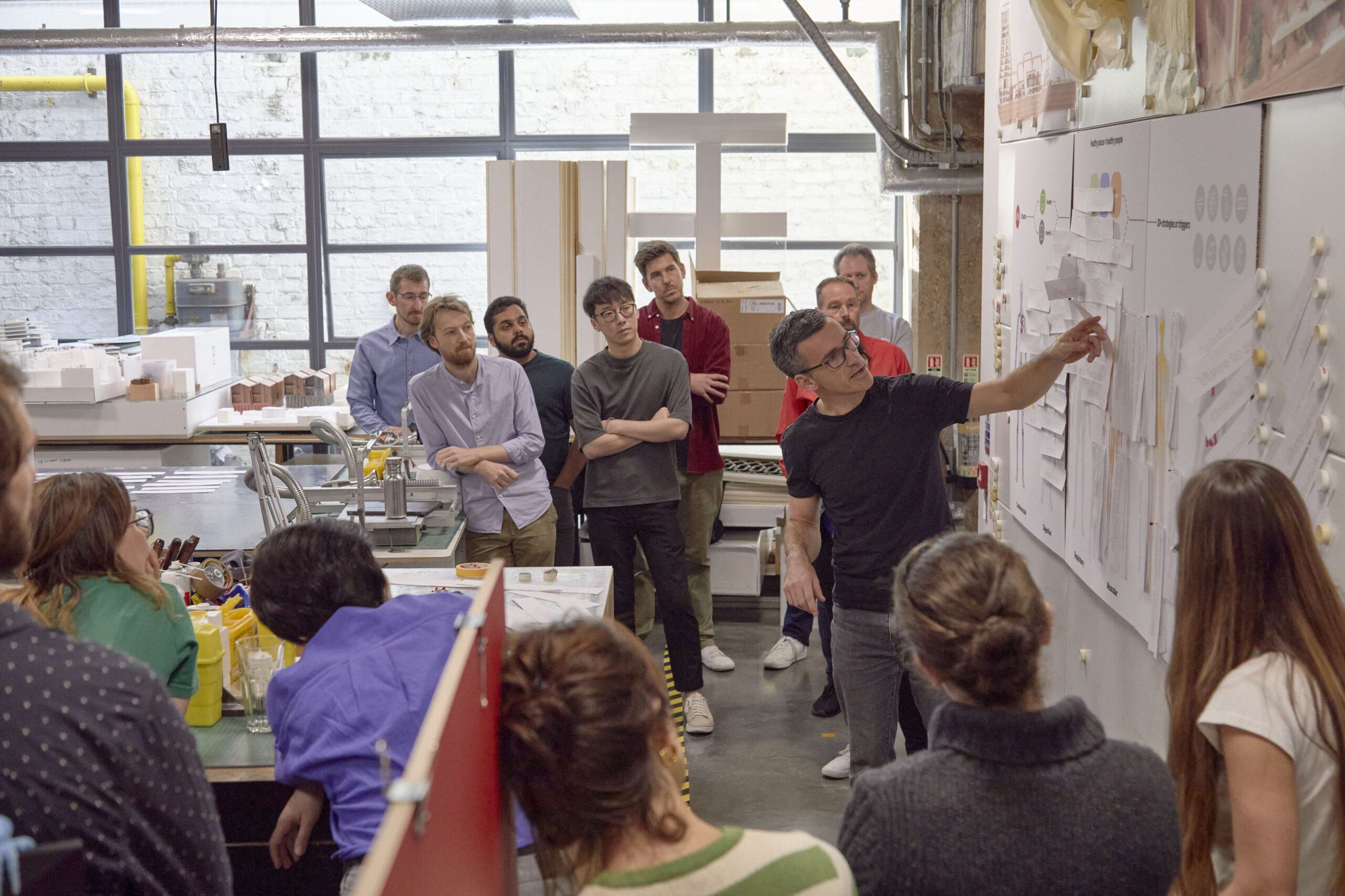
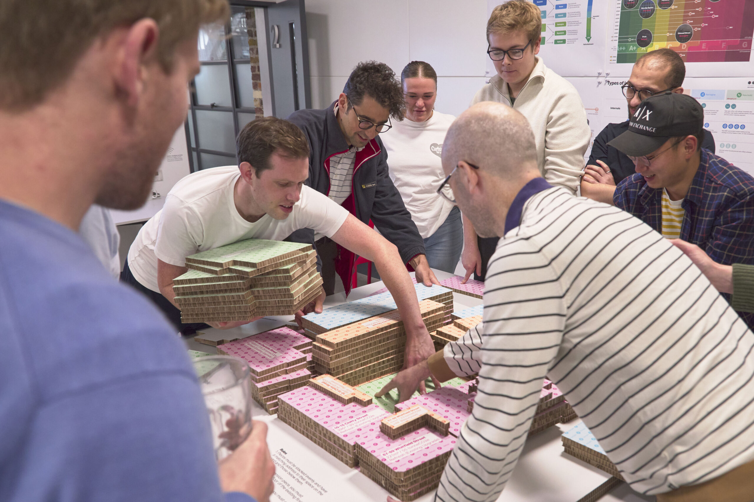
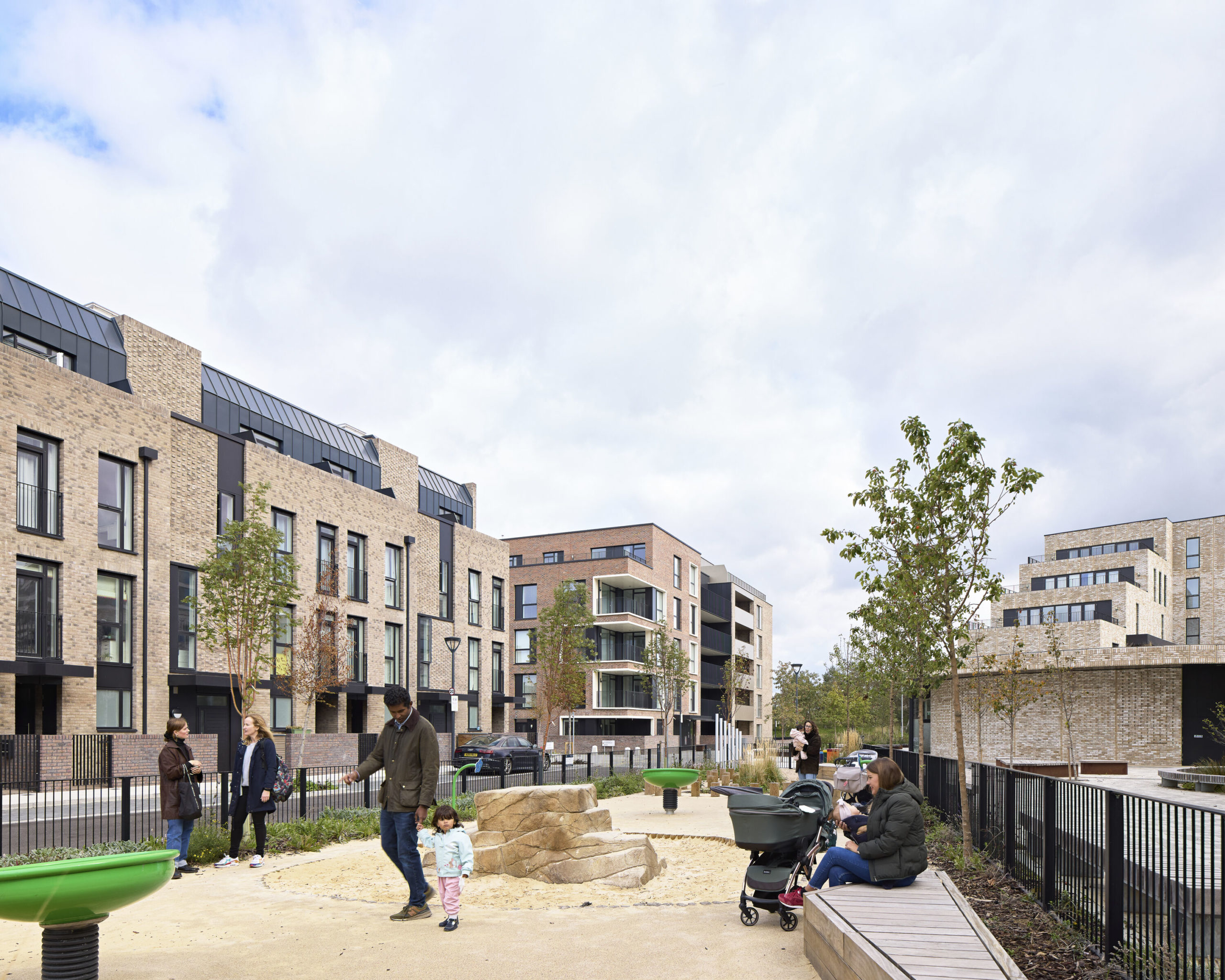
With the extreme pressures that London is facing to accommodate growth within a limited footprint, Khan needs to shift away from the current reactive and regulatory planning system to one that is more proactive, positive and creative if he is to provide the “good growth” he is promising in his planning consultation document A City for All Londoners. A proactive plan will give a better idea of the 3D shape of the future city than the current 2D local plans, which leave it to developers to fill in the gaps.

Providing a clearer idea of the shape of the future city will give greater certainty to developers and communities alike; it will reassure local people about what is going up in their backyard, reduce land speculation and make development less of a gamble. The London Plan sets out where development happens and what density it might be, but gives little thought to what it is going to look like or what form it might take.
As the mayor writes his own version of the London Plan, he has the opportunity to not just say what the London of the future will contain, how many people it can accommodate and what sort of jobs they will do, but also give us an idea of what it is actually going to be like.
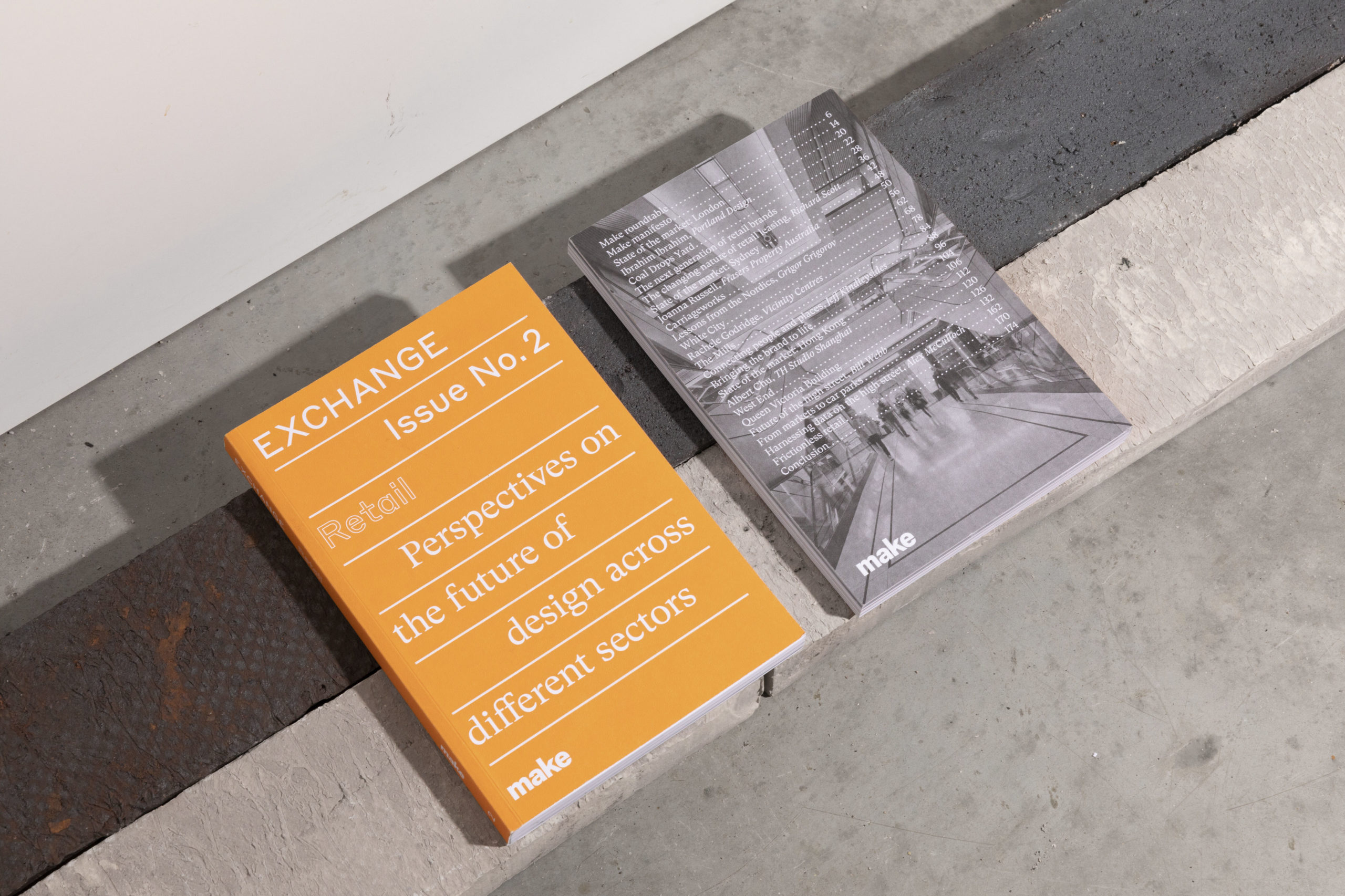
Article extracted from Make Annual 13.
